SOWMATRIX / 01 · LIDAR
LiDAR Processing
Classified point clouds and terrain data for dependable mapping.
Explore service →
Classified point clouds and terrain data for dependable mapping.
Explore service →Practical geospatial production support, from raw data processing to quality-checked deliverables.
View capabilities ↗Geospatial production expertise
GIS, LiDAR, photogrammetry and BIM/CAD workflows.Connected geospatial capabilities
From source data processing to checked deliverables.Connected digital workflow
Structured outputs designed for downstream use.A practical workflow that aligns source data, production rules and acceptance checks before files are delivered.
Check coverage, coordinate reference, source quality and the requested output.
Apply the agreed mapping, point-cloud, image or modelling workflow.
Build the required GIS layers, terrain products, drawings or 3D outputs.
Check completeness, structure and agreed delivery formats before handover.
We confirm the source data, coordinate system, required layers or model detail, file formats, naming rules and acceptance criteria up front. This reduces avoidable rework and makes review clearer.
We prepare outputs around the formats, structure and level of detail your downstream team needs.
Organised vector layers, attributes and spatial files prepared to the agreed schema.
Georeferenced image products for visual interpretation and mapping workflows.
Processed and classified LAS/LAZ data, subject to source quality and project scope.
DEM, DSM or DTM outputs and related terrain features when included in the specification.
2D drawings, model support and building documentation in agreed formats.
Checks for completeness, structure and consistency, with issues flagged for review.
Choose a specialist workflow or combine services into one coordinated production package.
 01BIM / CAD
CAD drafting, building documentation and model support prepared to your drawing standards and agreed level of detail.
 023D RECONSTRUCTION
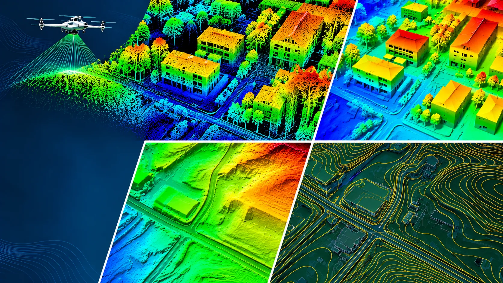
Process drone or aerial imagery into orthomosaics, surface models, point clouds and 3D reconstruction outputs.
03POINT CLOUDPrepare and classify point clouds, extract ground information and organise deliverables for mapping or terrain workflows.
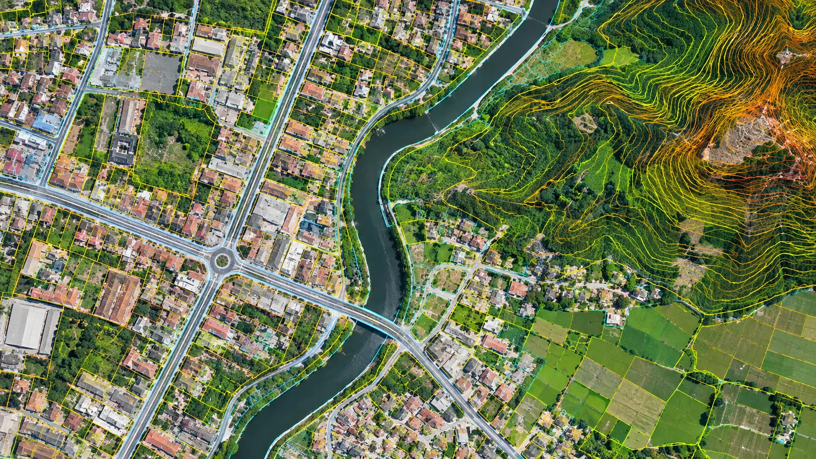 04SPATIAL DATA
Digitise features, maintain attributes and structure spatial layers to match your schema and mapping requirements.
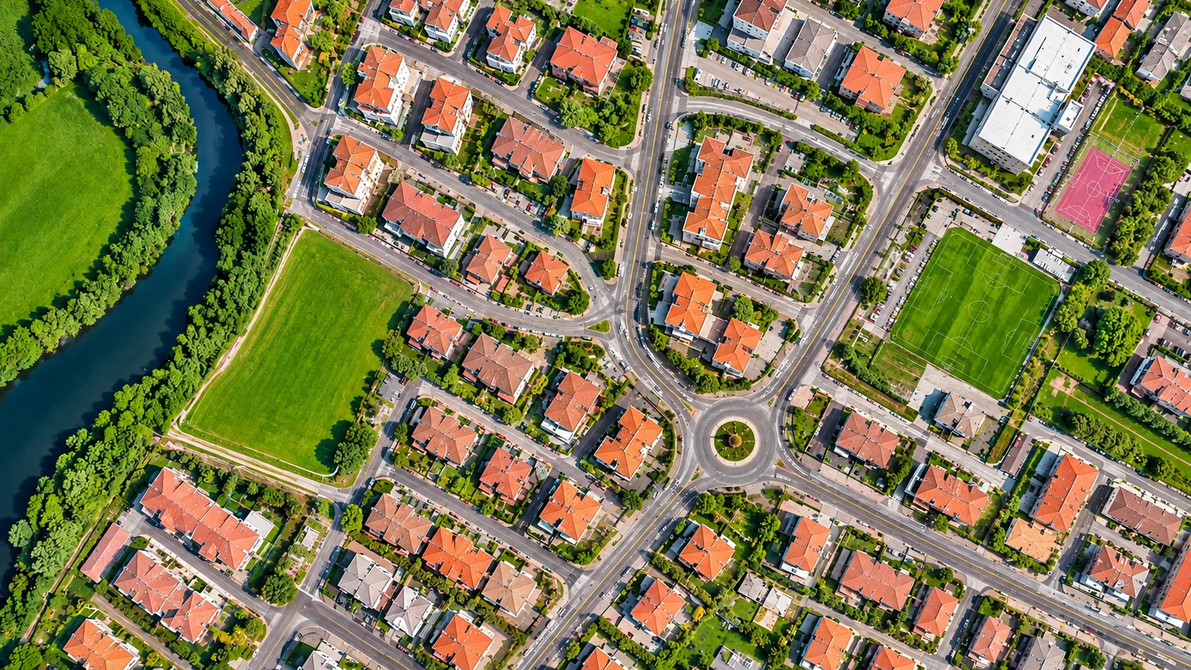 05AERIAL IMAGERY
Prepare and review orthorectified imagery for visual interpretation, digitisation and GIS integration.
 06QUALITY CONTROL
Check data structure, geometry, attributes, completeness and export consistency against agreed delivery rules.
Available formats, level of detail, coordinate systems and acceptance checks are agreed per project. Only services included in the confirmed scope are delivered.
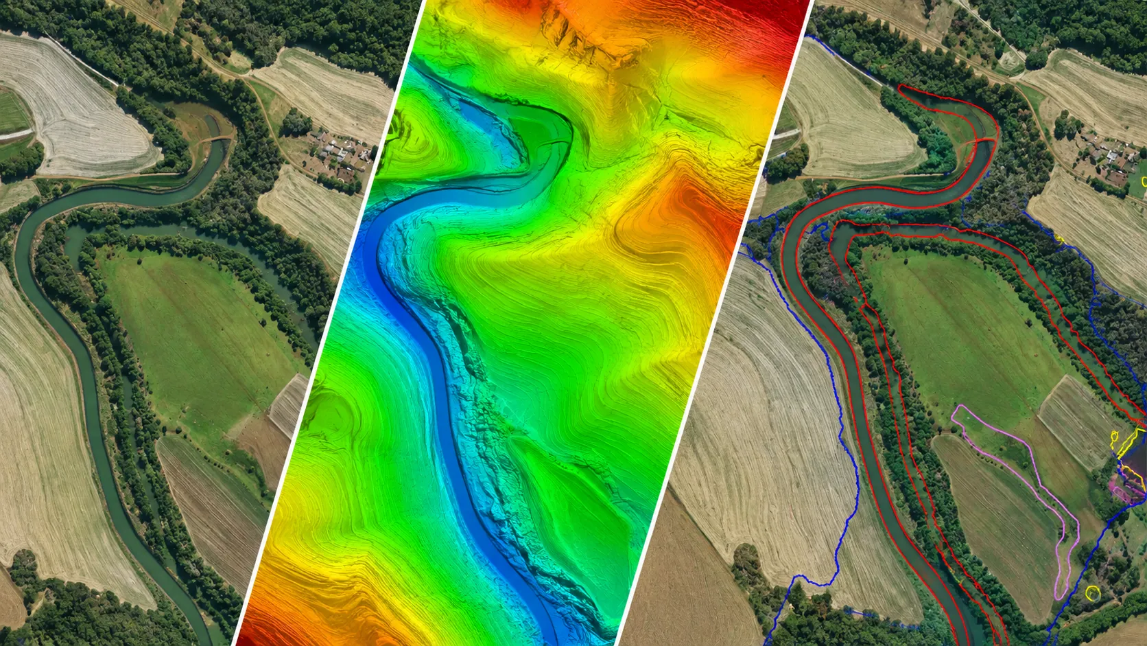
Move each divider to compare source imagery or reference data with an example of the mapped or documented output.
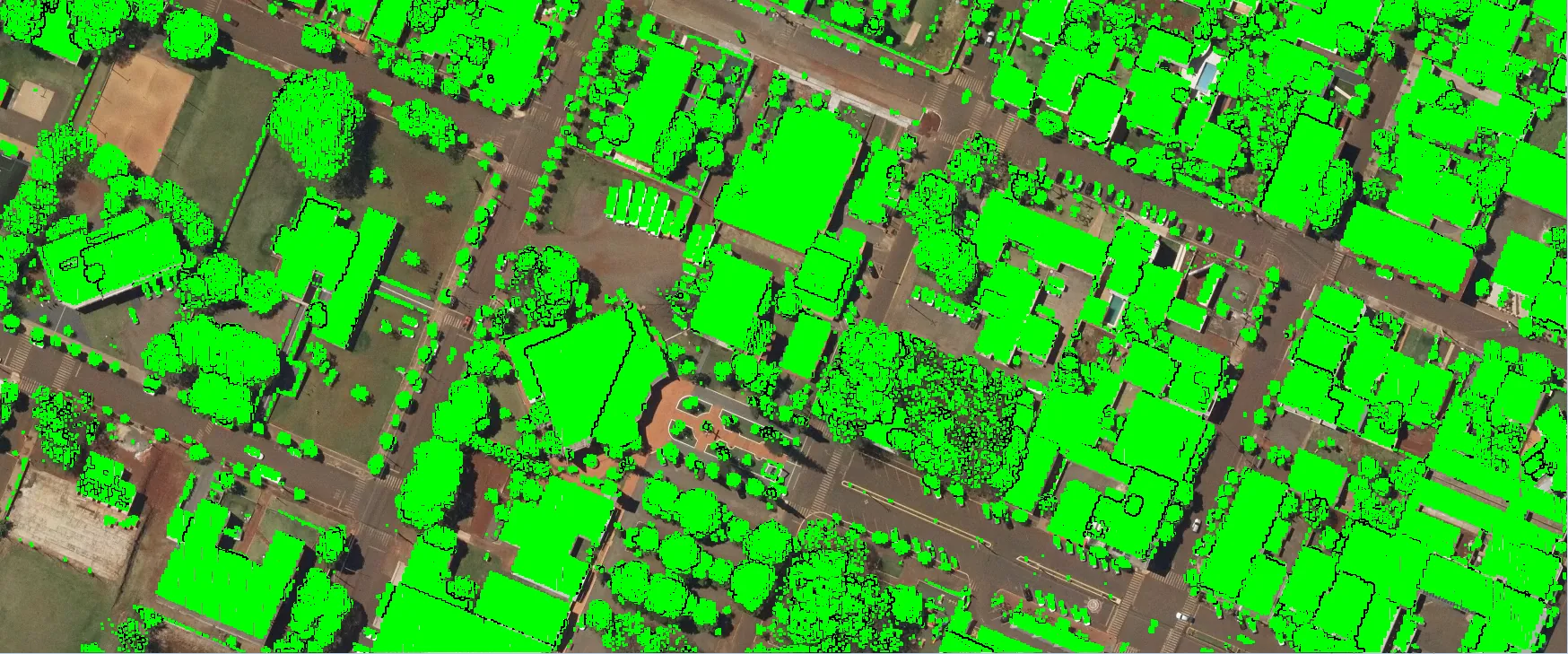
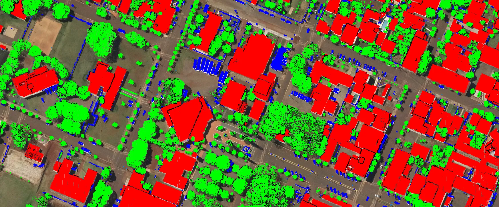
Identify, classify and organise visible features from aerial imagery into structured spatial data.
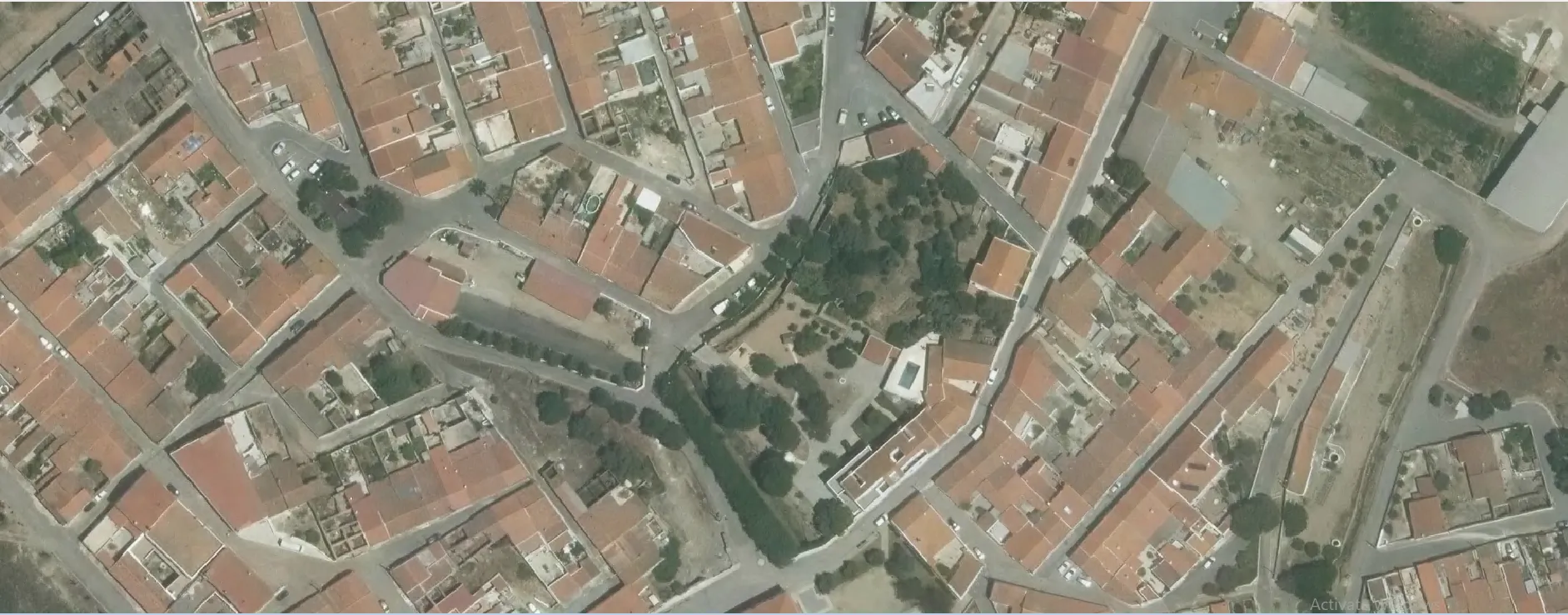
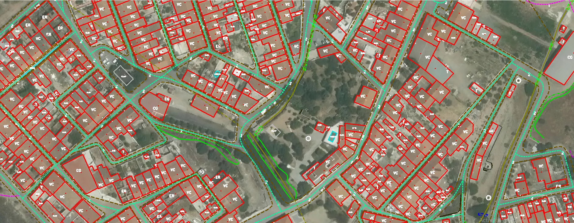
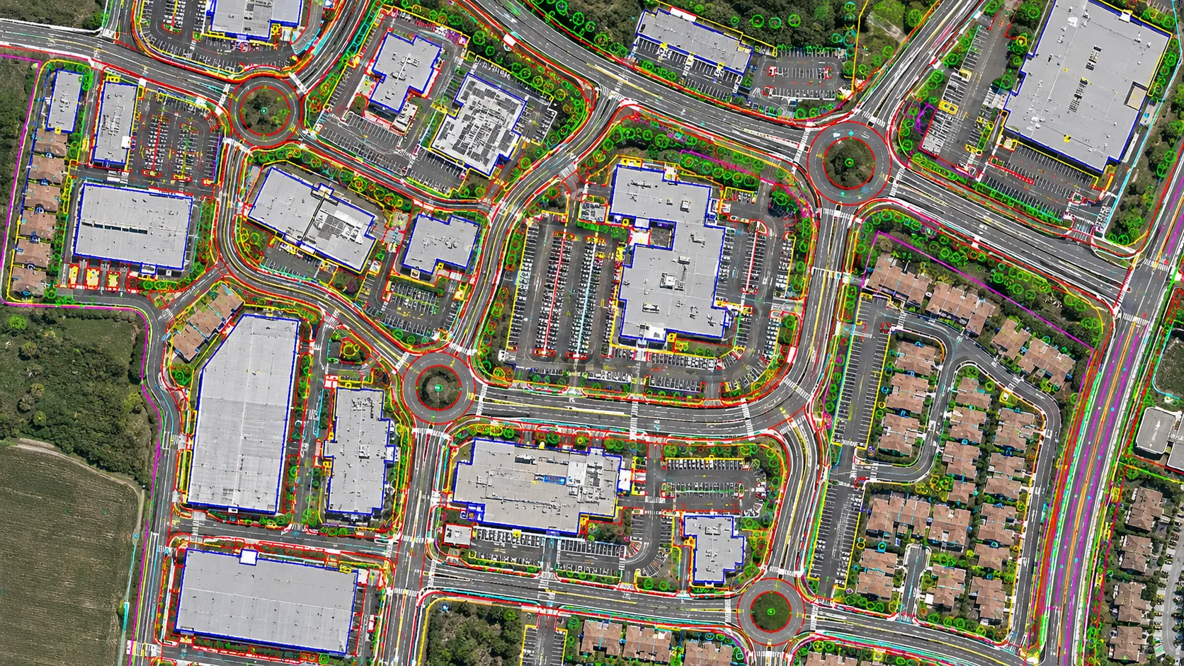
Trace and organise visible roads, buildings and other map features for GIS production.
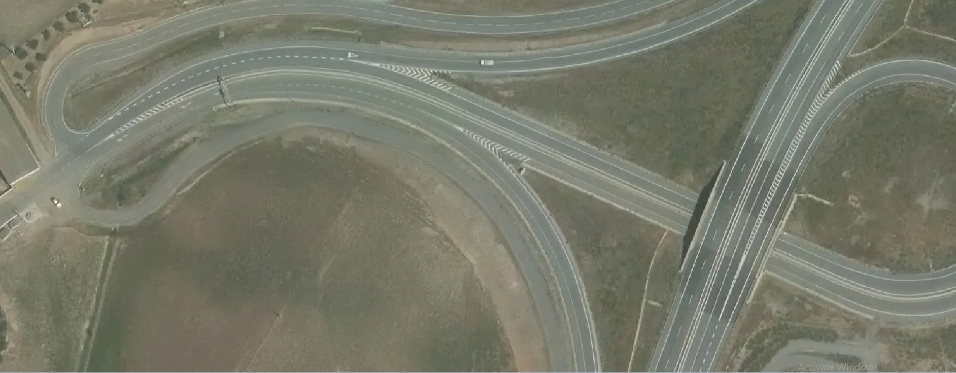
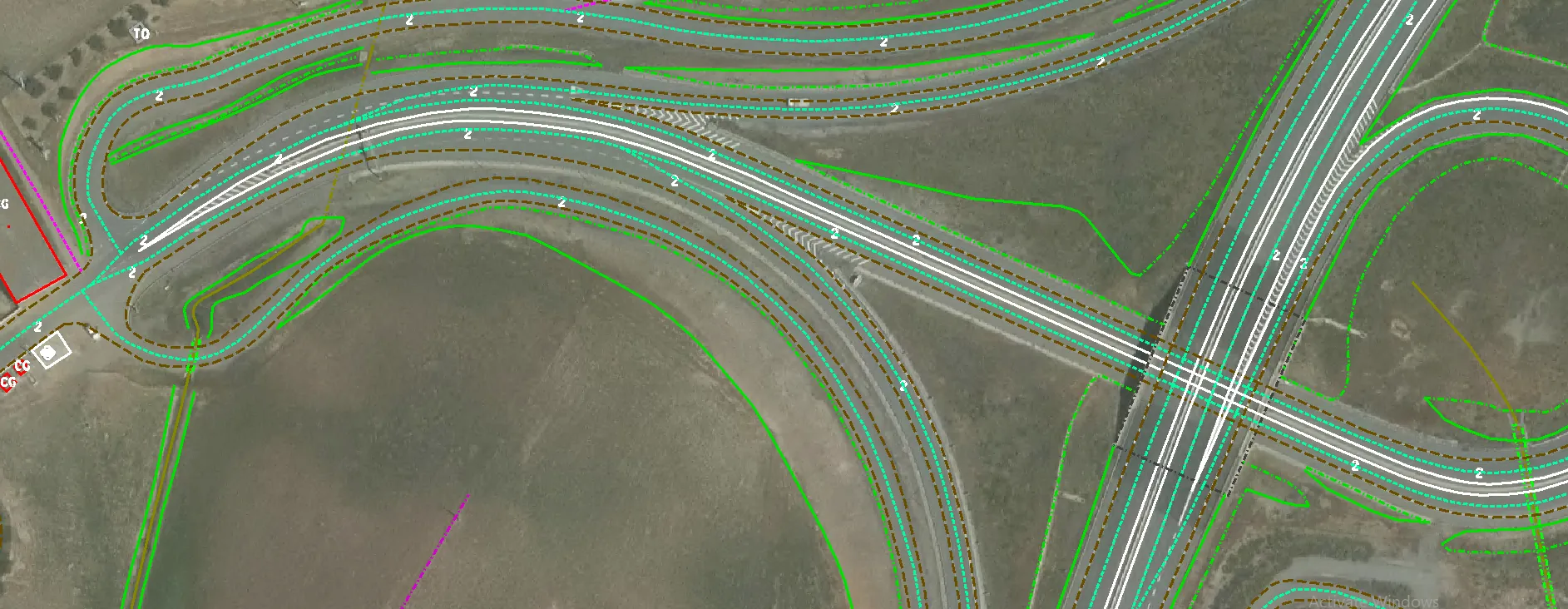
Extract and refine road and corridor features to support infrastructure mapping workflows.
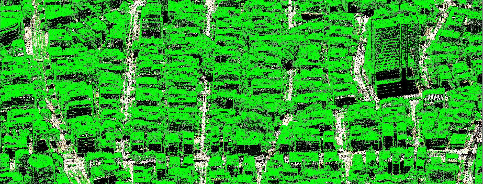
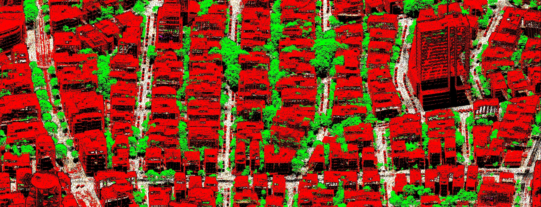
Review mapped feature coverage and visual consistency to support quality-controlled GIS deliverables.
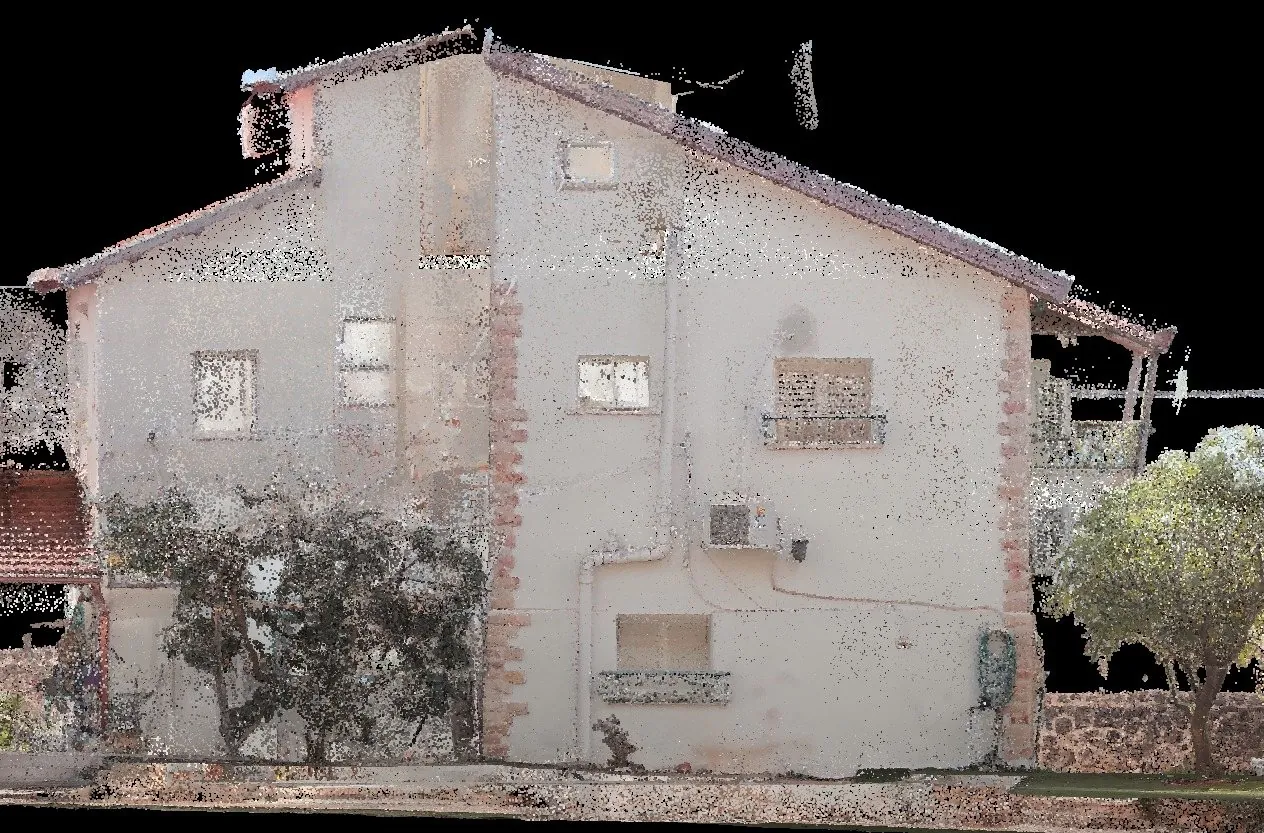
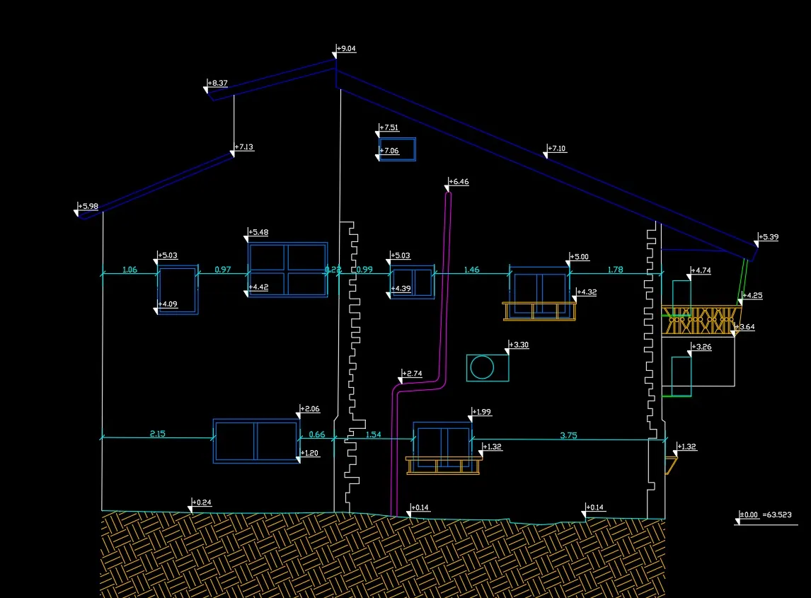
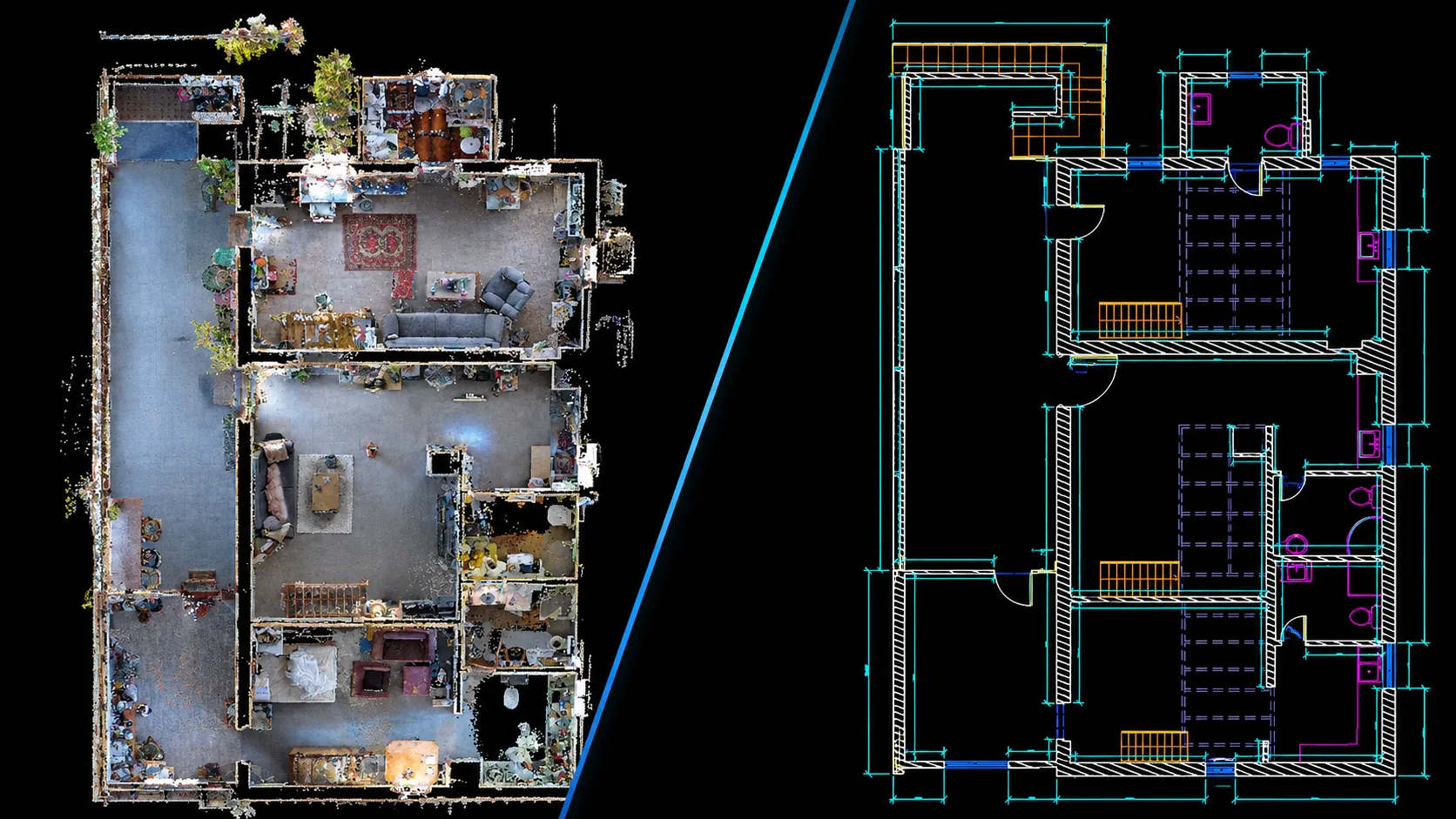
Support building documentation workflows by turning reference information into clear, reviewable drawing deliverables.
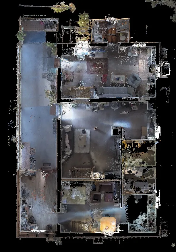
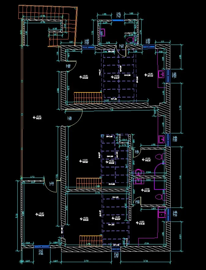
Convert building capture references into organised 2D floor-plan documentation for review and coordination.
Representative workflow examples for capability illustration. Image pairs may not represent the same project; final deliverables depend on the agreed scope and source data.
Sowmatrix Geosolutions supports engineering, mapping and geospatial teams with production-focused GIS, LiDAR, photogrammetry, orthophoto, terrain and BIM/CAD services.
We begin by understanding your source data, specifications and delivery needs. The work is then organised around agreed outputs, review points and a clear handover—so your team can integrate the results into its workflow.
Discuss a project ↗Share the source data, target deliverables, approximate volume and timeline. We’ll have the information needed to discuss scope and next steps.